Appliances Direct
Laptops Direct
Drones Direct
Better Bathrooms
Furniture 123
Dehumidifiers
Outdoor Living
Aircon
My Account

Track Order Business Enquiries Public Sector Enquiries
Inc. VAT vat switch show inc Ex. VAT Inc. VAT vat switch show ex Ex. VAT
£ currency switch £ currency switch

AERIAL SURVEYING DRONE TRAINING

Drone Survey

THE IMPORTANCE OF DRONE SURVEY

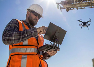
The use of drones within the survey industry is growing, they provide an efficient, cost effective and much safer way to collect extremely accurate data. But how can you adapt your business model to offer this service to your clients?

GET QUOTE NOW »

THE IMPORTANCE OF DRONE SURVEY

The use of drones within the survey industry is growing, they provide an efficient, cost effective and much safer way to collect extremely accurate data. But how can you adapt your business model to offer this service to your clients?

GET QUOTE NOW »

HERE'S WHAT YOU'LL LEARN

We’ll give you the skills you need so you can survey confidently and on your own. Our course offers detailed training in:

HOW TO SURVEY THE SITE

HOW TO PLAN YOUR FLIGHT

THE BEST DRONE TO USE

HOW TO USE THE MARKET LEADING APPS

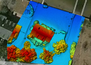
HOW TO PROCESS THE DATA

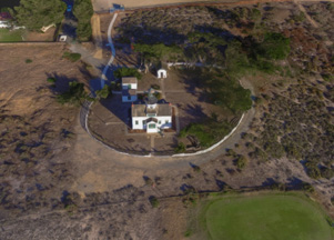
OUTPUT AND THE BEST USE (Orthomosaics, Stockpile Volumetrics, Façade Inspections, Topographical surveys)

COURSE SUMMARY

» Discover the perfect mapping software

» Plan your mission

» Get hands on and fly your mission

» Process your data and analyse the results

» Smaller groups for more in depth personal training

We’ve put together a one-day course that teaches you the skills and know-how to use in your business. You’ll need to already have a CAA commercial license to take part and we’ll help to build your confidence on site.

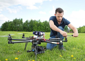
Throughout the day we’ll look at the theoretical and practical aspects involved in a successful survey, guiding you through every stage from planning to processing the data you have collected. This includes a practical flying stage, helping you to get to grips with the controls for a steady and effective flight.

We’ll look at the different dedicated surveying apps available on the market, focusing on the market leaders to ensure you can conduct a successful survey on your own. They include Maps Pilot, Pix4D capture, DJI GS Pro and Drone Deploy.

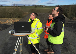
Throughout what is an enjoyable and extremely beneficial day, you’ll get hands on and practical experience, giving you confidence with every flight and every job. Our experts are on hand to guide you through every step to help you get the best results from your day. You’ll navigate your way around our specifically designed stockpile site, giving you the opportunity to really get to grips with the skills we teach.

WHAT YOU NEED

» A drone – don’t worry if you don’t own one, we can provide one for the day

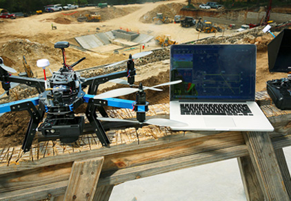
» Your own tablet pre-loaded with the required apps

» A laptop

» Clothing suitable for outdoor wear and changing weather conditions

*We’ll provide lunch and refreshments throughout the day.

WHY WAIT? BOOK YOUR SPOT NOW

Become an expert in surveying with the use of a drone!:


OR

Give us a call on 0330 041 2733 to speak with our specialists


Back to top