
Congratulations! Your promo code PROMOCODE will be automatically applied when you check out – enjoy.


Grade A1: Excellent condition - Looks like new.
Warranty
Enjoy the peace of mind that your product is covered with a guarantee on both parts and labour for 3 months.
As good as new
Devices are in excellent working condition and run like new. Our expert engineers have checked and tested every product for extra peace of mind.
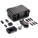
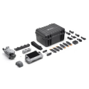
What's in the box
All accessories are included unless otherwise stated in the description below.
Limited Stock
Our refurbished products sell out quickly, so be quick and get a fantastic product at a fraction of the new price.
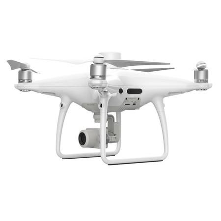
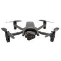
GRADE A1
Features
-
30-minute max flight time
-
1" CMOS sensor
-
Clear 20MP images
-
Real Time Kinematic Corrections for data accuracy
-
31 mph (50 kph)(P-mode) 36 mph (58 kph)(A-mode) max speed
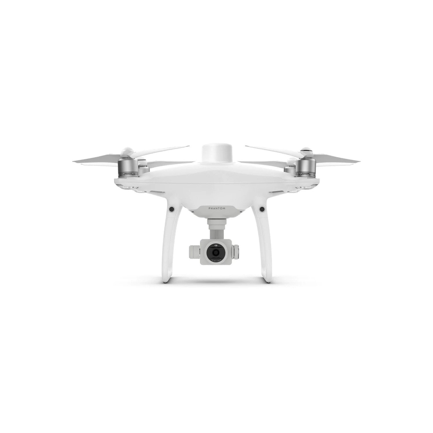
Visionary Intelligence. Elevated Accuracy.
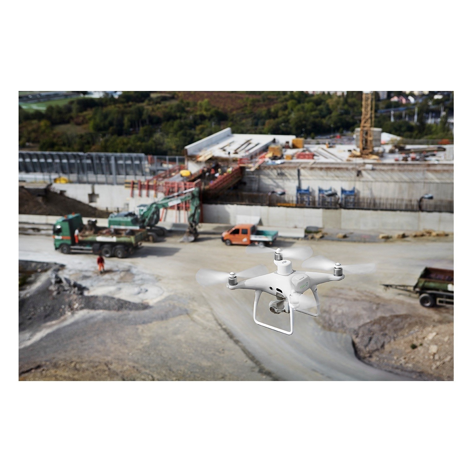
Upgrade your next mapping mission with the Phantom 4 RTK – DJI's most compact and accurate low altitude mapping solution.
Next Generation Mapping
DJI has rethought its drone technology from the ground-up, revolutionizing its systems to achieve a new standard for drone accuracy – offering Phantom 4 RTK customers centimeter-accurate data while requiring fewer ground control points.
Centimeter Level Positioning System
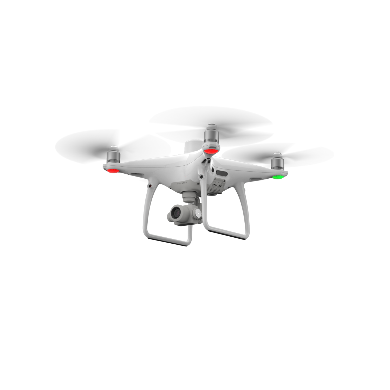
A new RTK module is integrated directly into the Phantom 4 RTK, providing real-time, centimeter-level positioning data for improved absolute accuracy on image metadata. Sitting just beneath the RTK receiver is a redundant GNSS module, installed to maintain flight stability in signal-poor regions such as dense cities. Combining both modules, the Phantom 4 RTK is able to optimize flight safety while ensuring the most precise data is captured for complex surveying, mapping and inspection workflows.
Fit the Phantom 4 RTK to any workflow, with the ability to connect this positioning system to the D-RTK 2 Mobile Station, NTRIP (Network Transport of RTCM via Internet Protocol) using a 4G dongle or WiFi hotspot, or store the satellite observation data to be used for Post Processed Kinematics (PPK).
Precise Imaging System
Capture the best image data with a 1-inch, 20 megapixel CMOS sensor. The mechanical shutter makes mapping missions or regular data capture seamless as the Phantom 4 RTK can move while taking pictures without the risk of rolling shutter blur. Due to the high resolution, the Phantom 4 RTK can achieve a Ground Sample Distance (GSD) of 2.74 cm at 100 meters flight altitude.
To ensure each Phantom 4 RTK offers unparalleled accuracy, every single camera lens goes through a rigorous calibration process where radial and tangential lens distortions are measured. The distortion parameters gathered are saved into each image's metadata, letting post-processing software adjust uniquely for every user.
Built for Surveyors
Offering a range of control schemes and complimentary technologies, the DJI Phantom 4 RTK is developed to provide survey-grade results with greater efficiency than ever before
Access a Variety of 3rd Party Applications
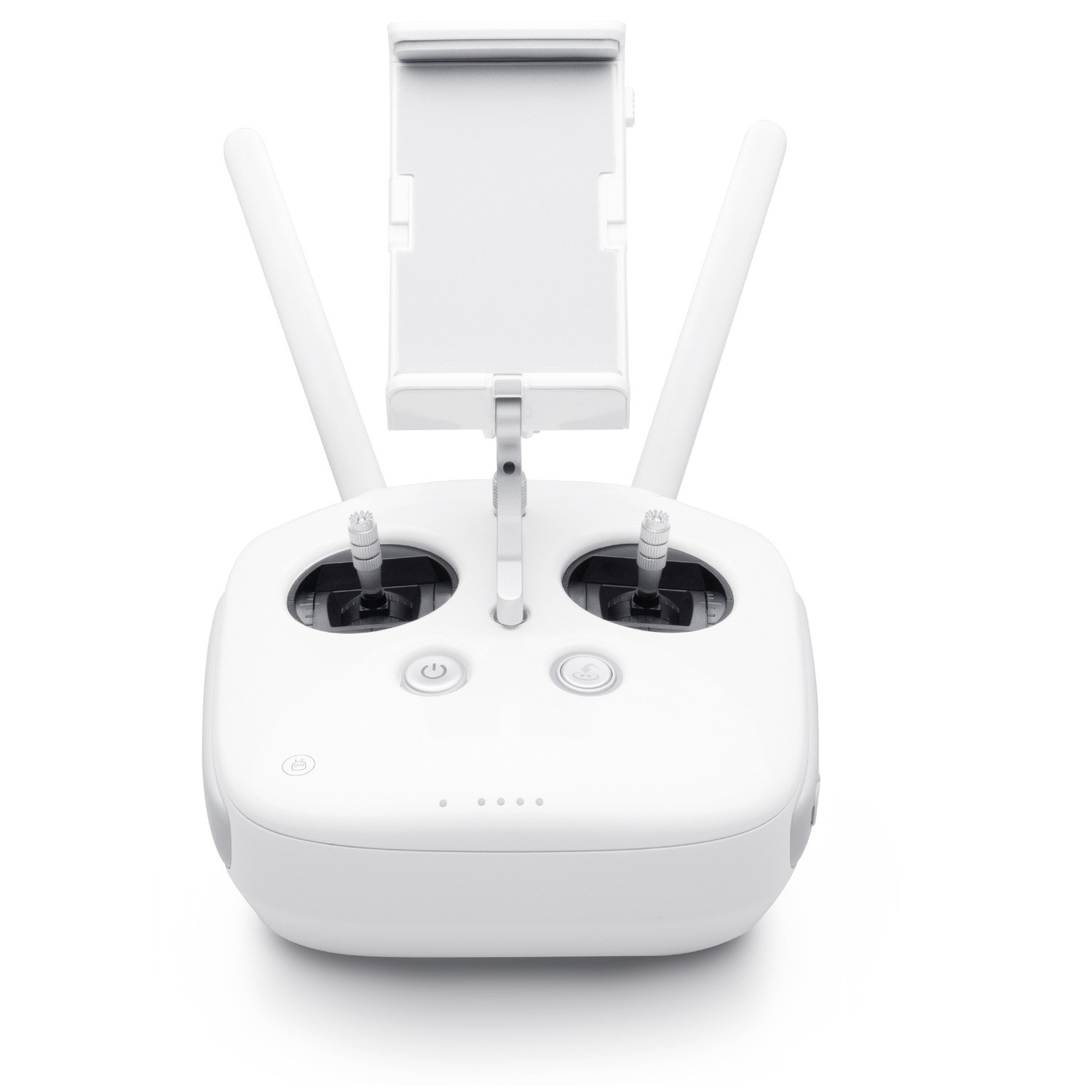
Pilots with experience using 3rd party apps on DJI drones can access the world's leading drone app ecosystem for their Phantom 4 RTK with the SDK Remote Controller. Users can plug in a compatible Android or iOS device and install any compatible DJI Mobile SDK-enabled app to harness the full power of their Phantom 4 RTK.
What's in the box?
- 1 x Phantom 4 RTK - SDK
- 1 x SDK Remote Controller
- 4 x Propeller Pair
- 2 x Intelligent Flight Battery
- 1 x AC Power Adapter
- 1 x AC Power Cable
- 1 x Intelligent Flight Battery Charging Hub
- 1 x Gimbal Clamp
- 1 x 16GB MicroSD Card
- 1 x Micro USB Cable
- 1 x Carrying Case
