
Congratulations! Your promo code PROMOCODE will be automatically applied when you check out – enjoy.


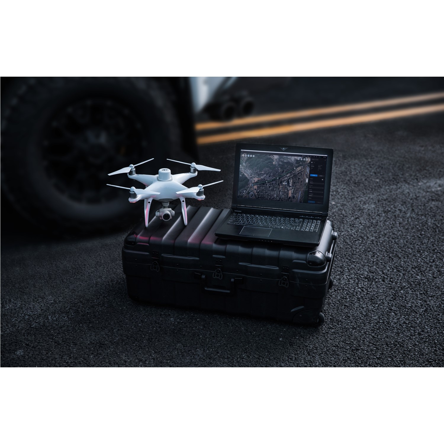


Capture, analyze and visualize your environment with DJI Terra – an easy to use mapping software developed to help industry professionals transform real-world scenarios into digital assets.
DJI Terra is compatible with:
- DJI Phantom 4
- DJI Phantom 4 Adv.
- DJI Phantom 4 Pro V2.0
- DJI Phantom 4 Pro+ V2.0
- DJI Phantom 4 RTK
Advanced Features:
- Real-time 2D Mapping
- Agricultural application
- KML file import
- 2D Reconstruction (Field)
- 2D Reconstruction (Urban)
Additional Pro Features:
- 3D Reconstruction
- 3D Mission Planning
Mission Planning options:
- Waypoint
- :Create dynamic custom flight paths through an area or around objects using waypoints and adjustable parameters like aircraft altitude, speed, heading, gimbal pitch and angle. For more complex missions that require high attention to detail, the 3D Flight Visualisation feature enables the design and simulation of missions on existing 3D models.
- Area
- :Capture a specific area quickly and easily by drawing a custom polygonal flight zone on a map. DJI Terra automatically generates efficient flight path options based on the area selected.
- Oblique
- :Capture a rich data set by automatically flying the same route multiple times. Each flight automatically adjusts the angle of the camera to capture new details, giving an extra crisp 3D model of the object or asset from multiple angles.
Real-time Mapping and Detailed 3D Models
With real-time mapping capabilities, DJI Terra allows drone pilots to quickly generate 2D orthomosaic maps as the drone flies, ideal for time-sensitive missions where situational awareness is critical and decisions need to be made in minutes.
DJI Terra's fast processing capability also creates sharp and realistic representations of any environment through detailed 2D orthomosaics and 3D model reconstructions used for industrial applications like reconstructing vehicle crashes, tracking progress on construction projects or conducting large-scale critical infrastructure inspections on bridges and roadways.
Easy Data Analysis
In addition to map and model creation, DJI Terra helps users analyse data and generate instant insights with easy-to-use analysis tools that provide a variety of measurements, including linear distance, surface area and volumetric estimations (pictured below).
To improve team communication and reporting throughout ongoing projects, annotation labels can be edited and shared. For detailed site inspections and accident reconstruction situations, DJI Terra's photo inspection tool lets users closely examine every photo used to create the model so they can pinpoint and highlight critical elements.
Top Features
-
Real-Time 2D Mapping
-
Agricultural Application
-
KML File Import
-
2D Reconstruction (Field)
-
2D Reconstruction (Urban)
-
3D Reconstruction
-
3D Mission planning
