
Congratulations! Your promo code PROMOCODE will be automatically applied when you check out – enjoy.


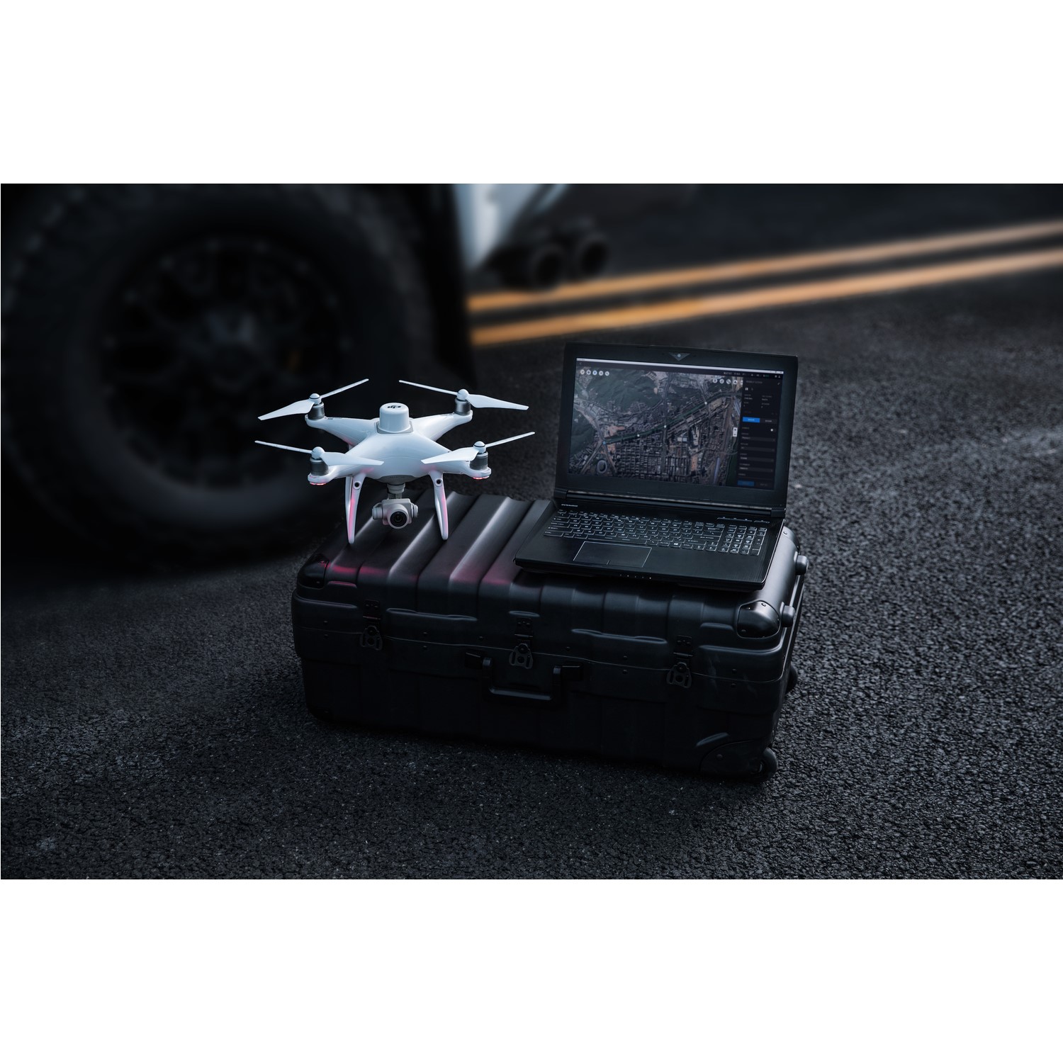


DJI Terra
Make the World Your Digital Asset
Capture, analyze and visualize your environment with DJI Terra – an easy to use mapping software developed to help industry professionals transform real-world scenarios into digital assets.
Digitise the world around you!
DJI Terra can be used in various fields of work in the commerical indsutry, some are below in which it will help you: -
- Construction - Collect, measure & analyse the data with accuracy across projects
- Energy - Safely inspect vertical assets & structures, with special optimisation for power lines.
- Public Safety - Achieve rapid turnaround time for gathering on-site critical information
Mission Type
Within the software itself it allows you to choose from a series of differnet flight paths and types to help you best gather your information & it includes the following: -
- Waypoint Mission Planning
- Area Mission Planning
- Oblique Mission Planning
- Corridor Planning
- Detailed Inspection Planning
Seamless Workflows, Accurate Results
Unparalleled efficiency and user experience
Import images with ease while navigating the intuitively designed interface effortlessly. Bulk process up to 400 images/1 GB of RAM, minimizing the wait time between field work and digital visualization. Run reconstruction missions by employing multiple graphics cards simultaneously to improve efficiency.
Meet and exceed your project standards
Generate highly detailed 2D orthomosaics and 3D models with enhanced absolute accuracy by setting Ground Control Points (GCPs) and checkpoints, so you can measure and inspect with ease. View a quality report of your mission to ensure the results meet your accuracy standards.
Mapping with 2D & 3D Maps
Real-time Mapping with 2D
Quickly generate a 2D orthomosaic of the selected area in real-time. Not only is this ideal for creating detailed flight paths in remote areas but it’s also useful for time-sensitive missions that require quick decision-making on site.
2D Reconstruction
Generate high resolution orthomosaics, enabling you to get detailed and accurate measurement results for all your critical projects.
3D Models
Real-time 3D Mapping
When efficiency is key, quickly render and visualize a 3D model of the mapped area. Make decisions based on the preliminary model and check for completeness immediately or plan 3D flights on-site.
3D Reconstruction
Get sharp and realistic representations of your surroundings throughout various industrial applications, be it accident reconstruction, recreating thin power lines and complex vertical structures, managing major construction projects and more. The CUDA-based reconstruction algorithms are capable of quickly processing large amounts of data to deliver quality results.
With Region of Interest, image reconstruction can be performed to specific target region. In turn, this saves processing time and improves efficiency, while generating a clearer model or point cloud.
Data Analysis
2D & 3D Measurements Acquire key dimensions across an array of terrains with easy-to-use analysis tools that enable you to obtain a variety of measurement data based on linear, area and volumetric measurements.
With these 2D & 3D measurements you're able to gather co-ordinates for inspection, distance from point to point, total area's of work such as a building length & also total volume of an area.
Annotation
Edit labels of measurements on existing models, which can be used for reporting and improving communication throughout ongoing projects.
Photo Inspection
Closely inspect every photo of the model so you can pinpoint and highlight any critical elements in the real world.
