
Congratulations! Your promo code PROMOCODE will be automatically applied when you check out – enjoy.


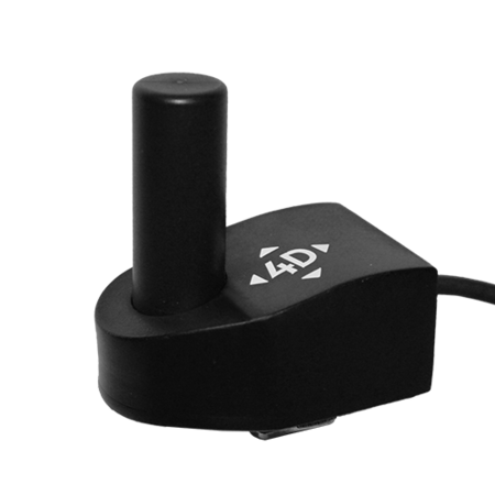
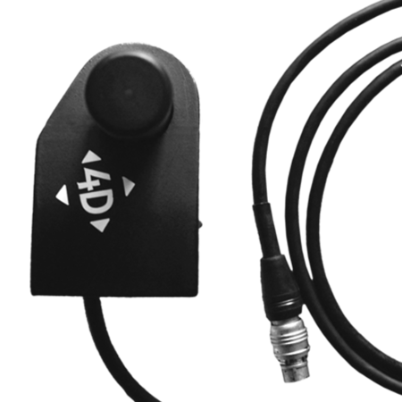
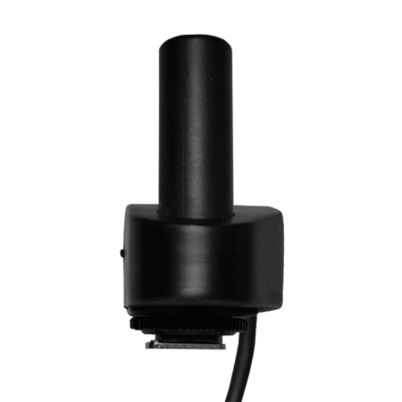

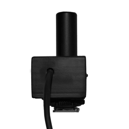
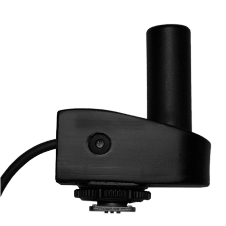


The 3D ImageVector Mono mounts on your handheld camera, transforming it into a precise surveying instrument and setting a new standard for fast, simple, scaled and accurate 3D modelling using terrestrial photogrammetry. The device contains a high-quality single-channel GNSS receiver and IMU for measuring the location and orientation of image centres, which makes it possible to produce scaled, georeferenced 3D models directly from images. This eliminates the need for ground control points in many applications and saves you hours on your project!
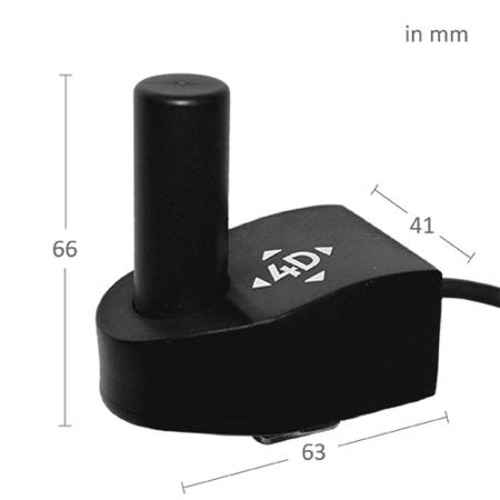
The Mono is mounted via hot shoe, making it compatible with all high-end consumer and professional cameras. It is extremely compact and lightweight and is suitable to carry with you anywhere that you can take a camera. This makes it possible to perform precise surveys in difficult terrain or even record your images from light aircraft. It is well suited to a wide variety of applications including surveying, infrastructure, architecture, archaeology, urban planning, geology, mining, volume calculations and 3D mapping.
The REDtoolbox geotagging software is included with the Mono, making it quick and easy to geotag images and begin processing in the photogrammetry software of your choice, including Agisoft Photoscan and Pix4D Mapper.
*Note that the ImageVector Mono requires RINEX data to operate at maximum accuracy. This data can be collected with your existing base station or by using a download service. Alternatively, the REDcatch Base Station Mono can be purchased separately.
Top features
- Transforms a conventional camera into a high-accuracy surveying and 3D modelling instrument
- Direct scaling and georeferencing without ground control points
- Image location accuracy up to 8cm
- Fast and easy to use
- Compact and lightweight
- Compatible with all common cameras and photogrammetry software packages
- Compatible with any base station or download service capable of recording RINEX data.
What’s in the box?
- 1 x 3D ImageVector Mono camera add-on
- 1 x 3D ImageVector Mono data logger
- 1 x USB cable for data transfer
- 1 x Charger
- 1 x Free download of REDtoolbox software
- 1 x Sturdy carry case
