
Congratulations! Your promo code PROMOCODE will be automatically applied when you check out – enjoy.


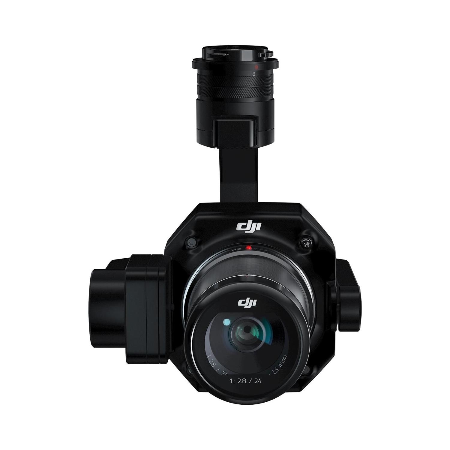
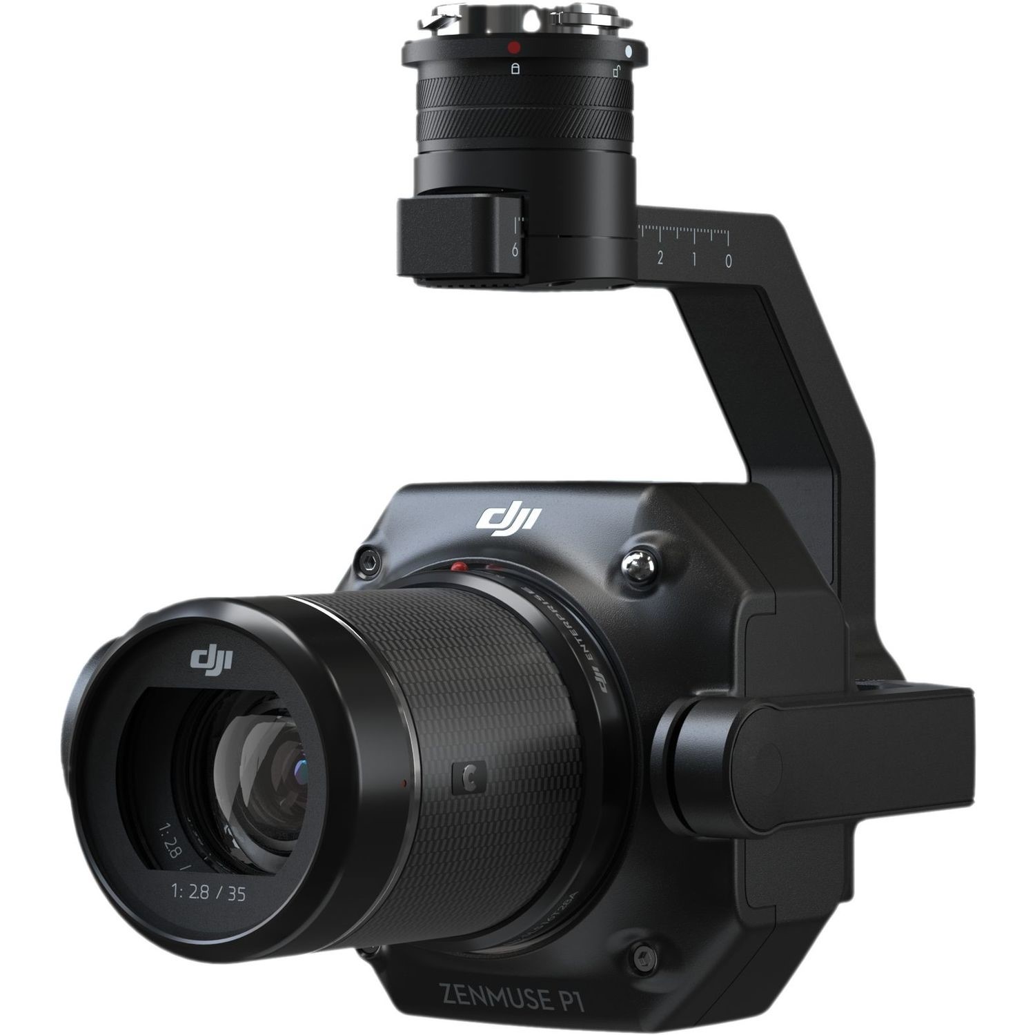
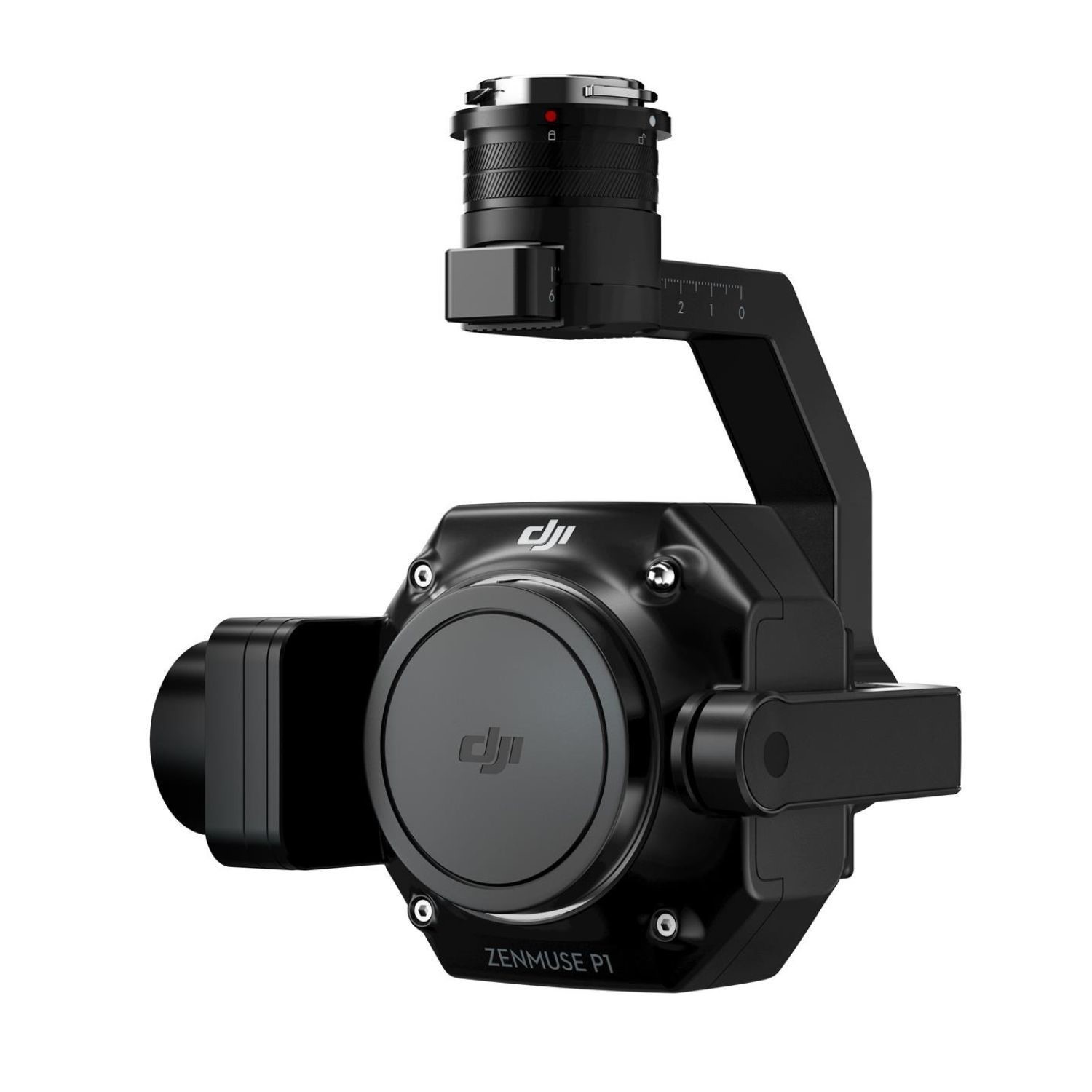
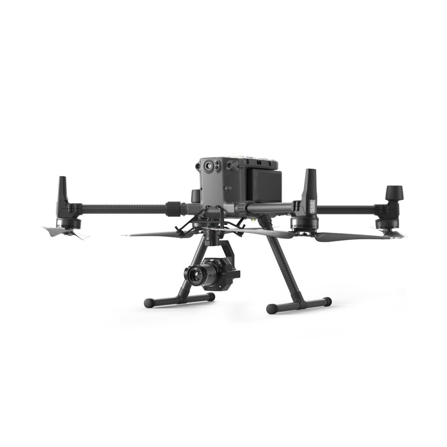


DJI Zenmuse P1
A powerful and precise drone surveying camera.
DJI Zenmuse P1 is a highly accurate 45MP full-frame photogrammetry camera, with a mechanical shutter and interchangeable fixed-focus 24mm, 35mm, 50mm lenses.
High-accuracy Aerial Mapping Solution
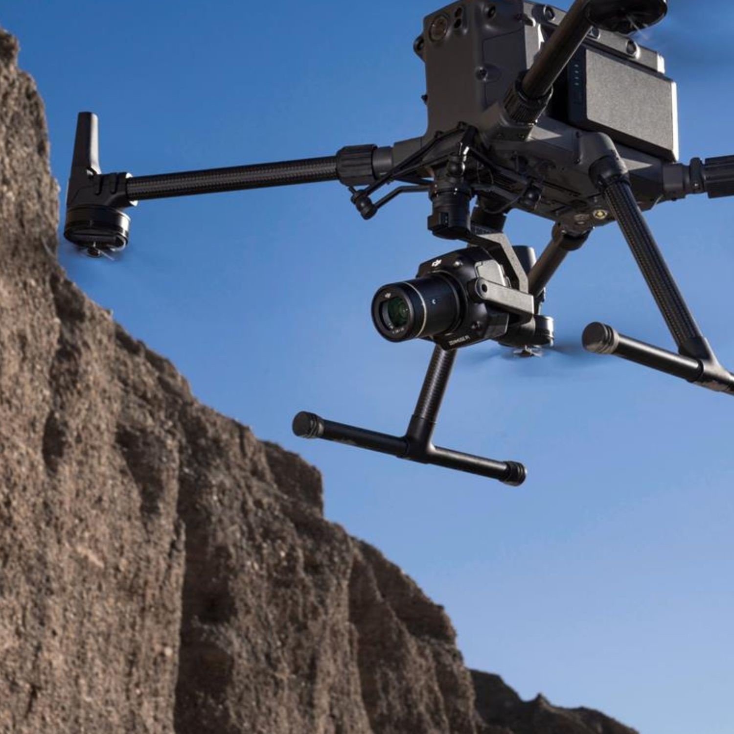
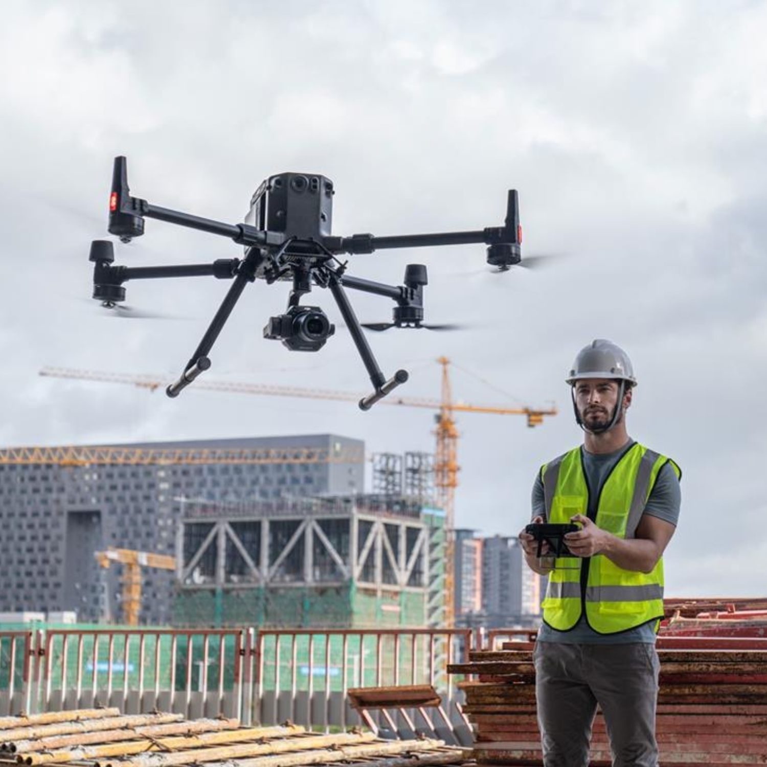
The DJI Zenmuse P1 is a high-performance, versatile surveying payload, engineered for the M300 RTK and M350 RTK.
The camera has a full-frame 45MP CMOS sensor and can be integrated with a 24mm, 35mm, or 50mm lens. The P1 is a 3-axis stabilised gimbal.
When combined with the M300 RTK or M350 RTK and mapping software package, DJI Terra, the P1 camera provides an efficient and high-accuracy aerial photogrammetry solution.
Integrating the P1 with the M300 RTK or M350 RTK dramatically increases productivity, being up to 10 times more efficient than the Phantom 4 RTK for both ortho mosaic and oblique mapping missions.
The highlights include:
- 45MP full-frame CMOS.
- Achieve 3cm horizontal accuracy and 5cm vertical accuracy with no ground control points (3cm GSD, with 75% front overlap ratio and 55% side overlap ratio).
- High efficiency: 3km² area coverage during a single flight (3cm GSD, with 75% front overlap ratio and 55% side overlap ratio).
- 3-axis stabilised gimbal with Smart Oblique Capture.
- Mechanical Global Shutter (achieved by mechanical leaf shutter) - 1/2000s shutter speed.
- TimeSync 2.0: Synchronise flight controller, RTK, gimbal, and camera within milliseconds.
Collect Quality Data - Quickly And Safely.
Multiple Operation Modes
The P1 camera has a range of operation modes to enable survey professionals to capture the best data possible.
These include:
- 2D Ortho: Collect accurate data quickly and easily, which meets the cadastral 1:500 and 1:1000 accuracy standards.
- 3D Oblique: The multi-angle oblique image data captured for 3D modelling is provided efficiently and concisely, which can be widely used in many industries such as urban planning, cadastral surveying, security command, etc, helping real-life 3D and smart-city construction.
- Detailed Reconstruction: High-resolution data images can be obtained efficiently, to help restore the fine texture, structure, and characteristics of the ground and objects. It can be widely used in fine building reconstruction, ancient building protection, water conservancy engineering, and geological surveys.
- Real-time Reconstruction: Combine with DJI Terra to obtain real-time geographic information of a large area to assist emergency rescue sites.
Smart Oblique Capture
Smart Oblique Capture allows the P1 to achieve comparable efficiency in oblique mapping missions compared to five-lense oblique payloads.
- Swing Pattern: When the P1 is performing a five-direction oblique mission, it will swing five directions at -60 degrees. It will only capture images inside the working area, boosting post-processing efficiency by 20%-50%.
- High Oblique Operation Efficiency: The P1 will perform the multi-angle swing shooting pattern to greatly improve operation efficiency on a single-lens camera. The area of operation with the P1 can reach 7.5 square kilometres (3cm GSD, 75% front overlap ratio, 65% side overlap ratio) in a single day.
- Greater Efficiency: The P1 has a higher efficiency in oblique missions compared to other single-camera payloads.
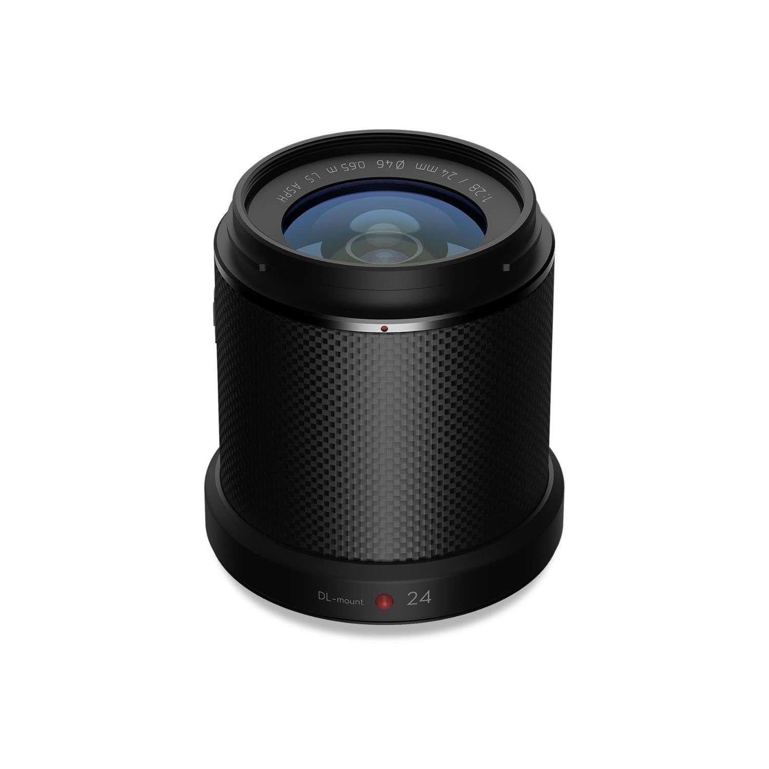
Multiple Premier Lens Options
The DJI Zenmuse P1 is a versatile mapping camera, which can be integrated with a 24mm, 35mm or 50mm lens.
A 35mm lens is suitable for most mapping missions, but if the drone needs to operate at a higher altitude while maintaining the same resolution, the 50mm lens option is available.
For lower altitude flights, the 24mm lens can be used.
The comparative Ground Sample Distance for the different lens options are:
- 24mm: GSD = H/55
- 35mm: GSD = H/80
- 50mm: GSD = H/120
High Accuracy With TimeSync 2.0
Thanks to TimeSync 2.0, the P1 is capable of achieving really high accuracies of 3 cm horizontal and 5 cm vertical (3 cm GSD, with 75% front overlap ratio, and 55% side overlap ratio).
TimeSync 2.0 ensures the following:
- Millisecond-level exposure MEP capture.
- Millisecond-level synchronisation with camera, gimbal, flight controller, and RTK module.
- Real-time compensations: UAV position and orientation offset compensation; gimbal orientation offset compensation; and camera position offset compensation.
What's in the box?
- 1 x Zenmuse P1 Payload
- 1 x DJI DL 35mm F2.8 LS ASPH Lens
- 1 x 16GB SD Card
- 1 x Camera Body Cap
- 1 x Lens Rear Cap
- 1 x Lens Cleaning Cloth
- 1 x Storage Case
